No Climate Strategy? Firefighting’s No Longer a Metaphor
25th June 2025

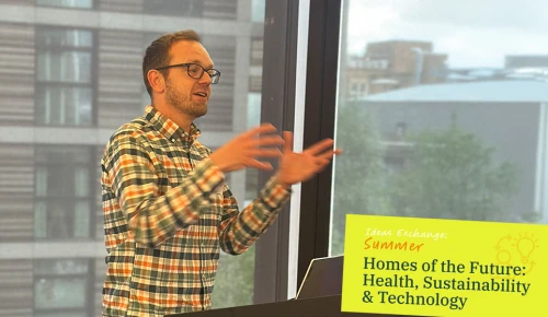
What if the key to healthier homes isn’t just what’s inside them, but where they sit? In this episode, Jenny is joined by Richard Flemmings (Map Impact) and Isabel Clouting (Esri UK) to explore the growing role of geospatial technology in housing. Together, they unpack how ‘place’ connects residents, risk, and opportunity — and why it’s time for housing leaders to make it central to strategy.
Key takeaways:
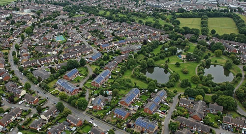
Place as a connector: Location ties together property condition, resident well-being, environmental risk, and community context — a powerful tool for insight and decision-making.
From data-rich to insight-rich: Social housing providers sit on vast amounts of data; mapping tools make this data visible, actionable, and compelling.
No GIS degree required: Modern tools like ArcGIS (Esri) and spreadsheet-ready datasets (Map Impact) lower the barrier to entry.
Climate resilience beyond the home: Understand and plan for heat islands, wildfire, drought and surface flooding using climate risk mapping.
Collaboration in action: The SHINE group’s shared mapping project shows the power of collective effort — risks don’t stop at your property boundary.
Further reading and resources:
Call to action:
Don’t wait for crisis, it’s here already — choose a project, get curious about place, and see what changes when you start mapping what really matters.