

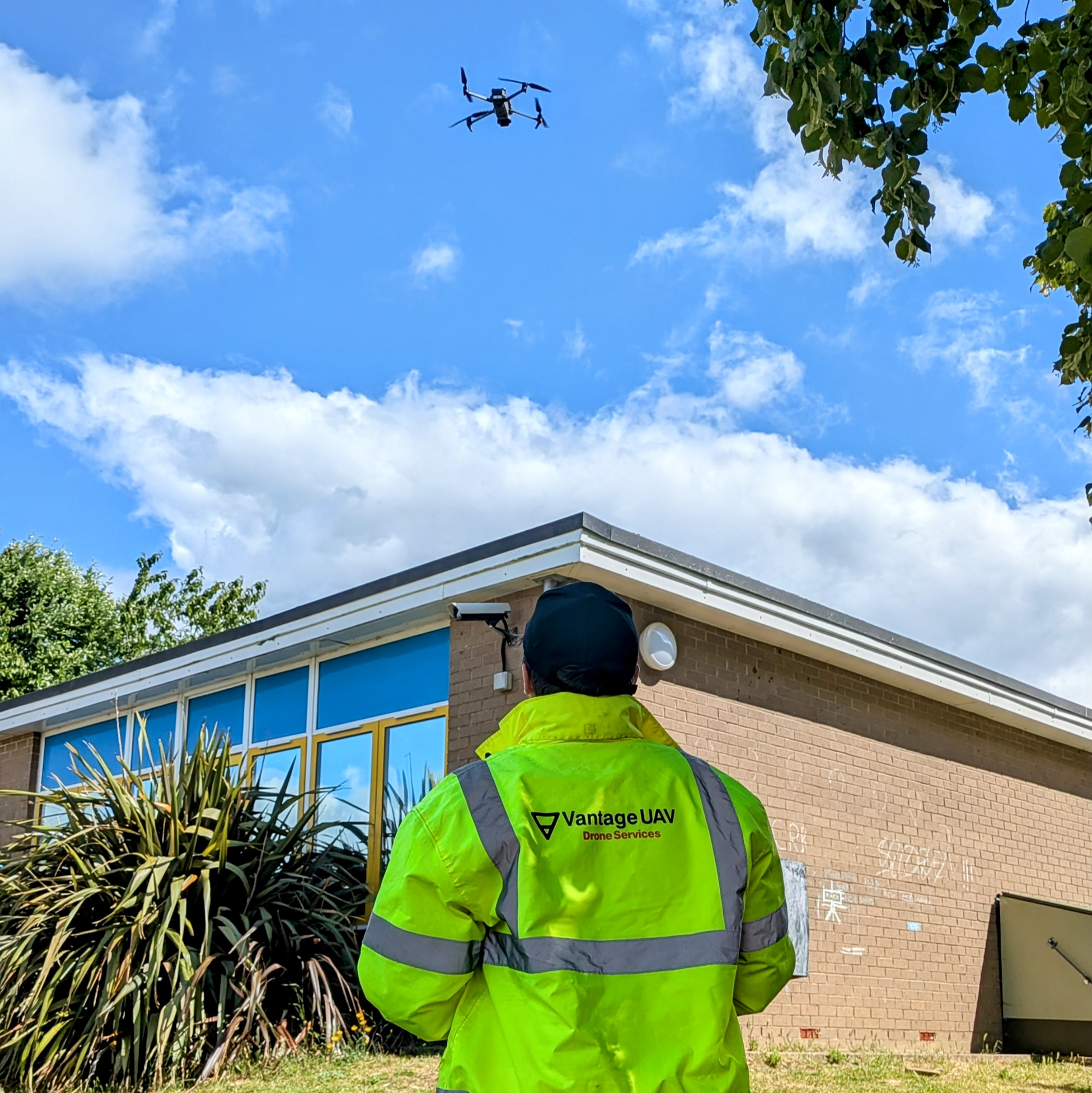
Vantage UAV Ltd delivers professional geospatial survey and inspection services using advanced UAV, LiDAR, and photogrammetry technology. Our ISO 27001-aligned workflows provide accurate, secure data to support housing, infrastructure, and environmental improvement projects - helping clients plan, maintain, and enhance homes and communities safely and efficiently.
We share the Hub’s vision for healthier, more sustainable living environments. Joining enables us to collaborate with housing providers and innovators to apply aerial data and digital mapping to improve housing quality, reduce risks, and support better decision-making in retrofit, maintenance, and community wellbeing initiatives.